Our services
Technology, competency and experience allowing us implementation of specialized services with use of UAV.
With our services the customers have:
- access to reliable and precise data,
- reduction of maintenance costs and time required for inspection,
- increased safety and elimination or reduction of risk.
Check what we can offer for optimization of your business
Ship's hull and tank inspections
Ship’s hulls and tanks inspections. Our drones can access locations which are obstructed and hazardous to human. Collected materials are of high quality and traceable for statistics and condition monitoring.
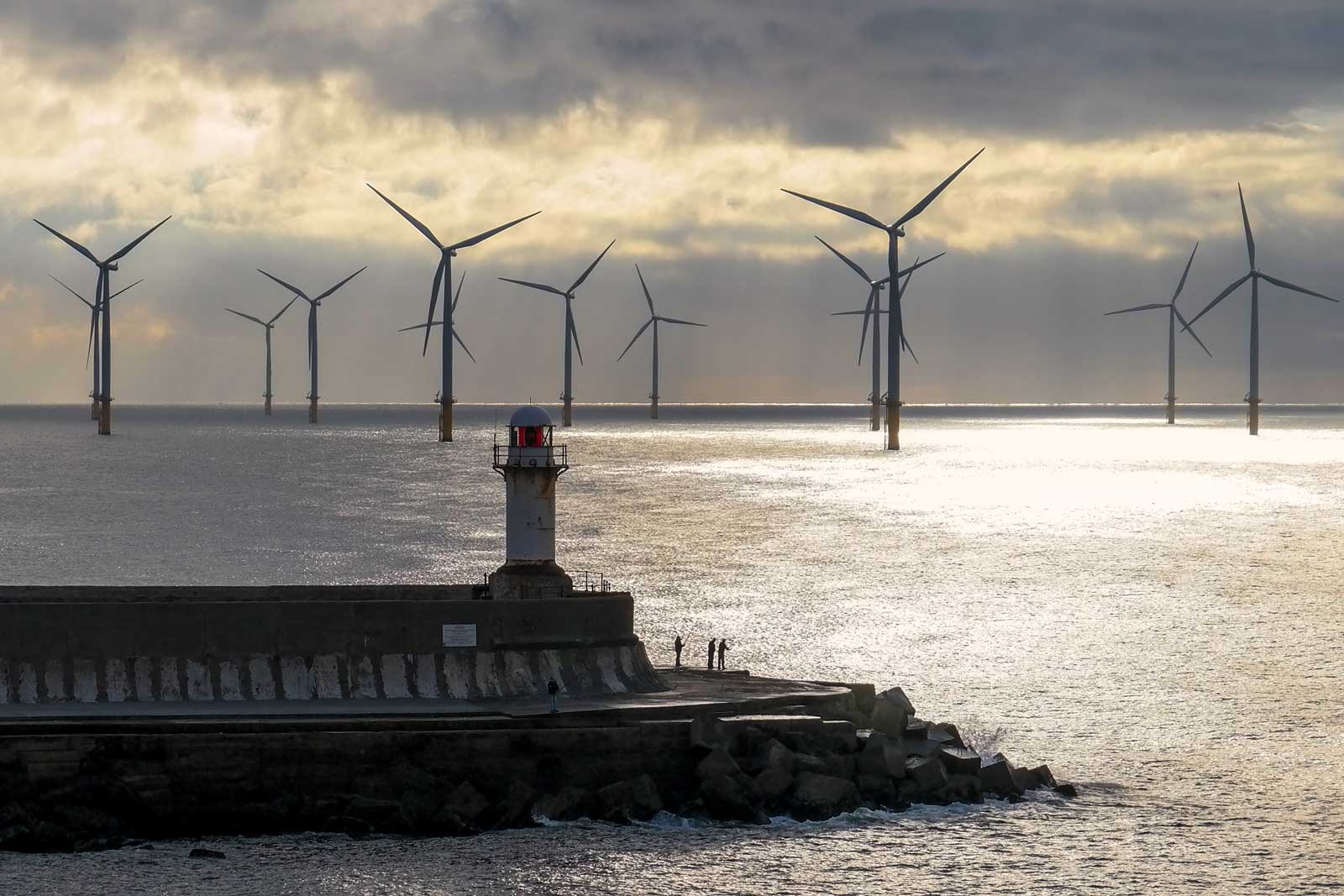
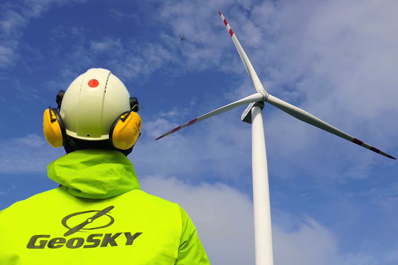
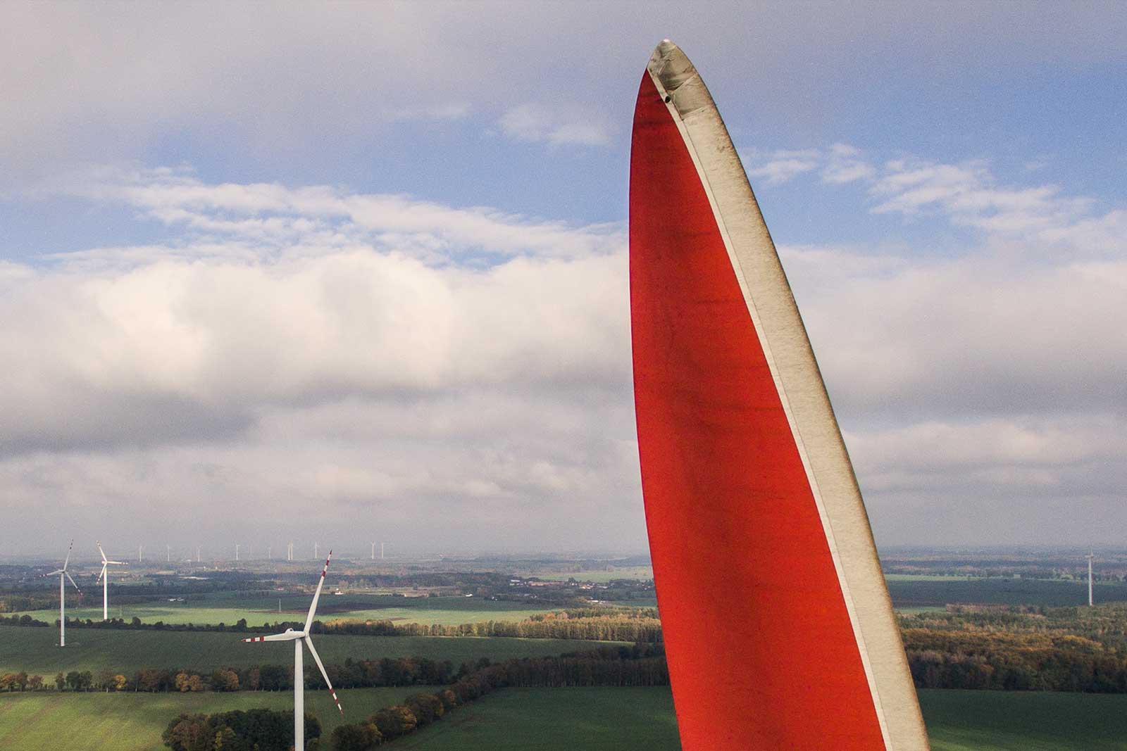
Wind mills' inspections
Wind mills’ elements are exposed to constant damages and therefore their regular inspection is essential. Whether offshore or on land our drones can provide precise condition verification used for father decision making regarding applicable maintenance requirements.
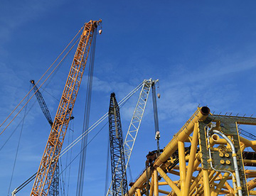
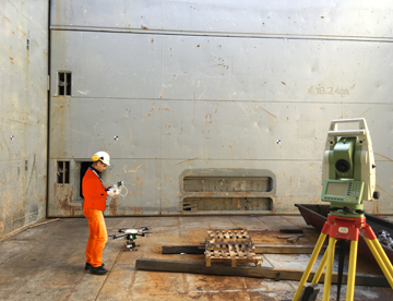
Offshore inspections
Condition monitoring on elevated objects with limited access is not an issue for UAVs. Whether site preparation for man safe access is time and costs consuming, we are capturing smallest detail of the construction from remote safe location within seconds from the start.

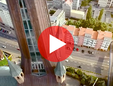
Technical inspection
Inspection of infrastructure (bridges, roads, railways, power lines and equipment, ducts, retaining walls). Inspection of chimneys, monuments, historical buildings, roofs.
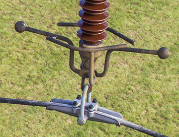
High voltage inspections
UAVs introduced new perspectives to power lines condition inspection. High zoom cameras and unlimited flying conditions make the inspection efficient and easy accessible.
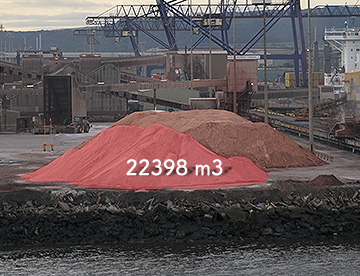
Volume Computations
GeoSky has extensive experience of assessment of horizontal and vertical displacements. Leading global construction companies trusted our experience for capacity control of their resources.
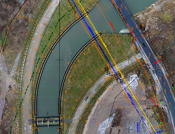
GIS & Maping
We combine spatial data obtained using photogrammetric, vector data and databases to create multimedia maps and GIS systems.
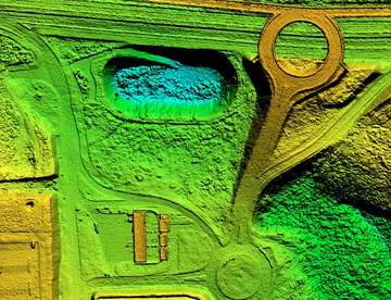
Digital Surface Model (DSM)
DSM's measure the height values of the first surface on the ground. This includes terrain features, buildings, vegetation and power lines, etc.
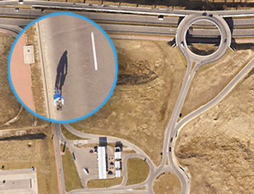
Orthophoto mosaics
We create orthophotos on the basis of photogrammetric images. Minimum resolution is 1cm/px GSD. We obtain data quickly and with high precision.
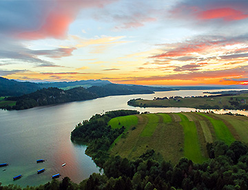
Aerial Photography
Materials collected with use of our UAVs are representing high quality resources for marketing materials, presentations and commercial use. Highly advanced cameras allow recording at day and night.
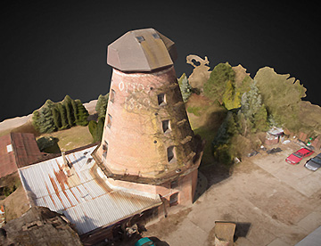
3D Modeling
3D models computed from pictures taken by UAVs supporting spatial analysis, planning your investment or presentation of objects in more attractive way.
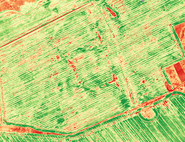
Precision Agriculture
Collection and processing of data about the condition of your fields will assist you with decision making process regarding amount, type and locations of fertilizer application.
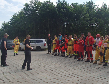
Search and rescue
UAVs become inevetable tool during search and rescure operations.
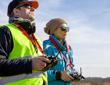
Training
We are certified training institution for those willing to become UAV pilots either in private or commercial sector. We provide assistance during project realizations on consultancy basis.
Aerial Video
We are an experienced team for film and television, and our shots were used in many commercials films and advertising.

Survey APP
We can manage your surveys
Mobile application for swift data collection and transfer to main data server. Windows, iOS, Android compatible application for data collection and analysis.
Ask for more